Last updated: September 25, 2026
The four easiest fall-color outings from Colorado Springs are North Cheyenne Cañon and Helen Hunt Falls (15–25 minutes away), Mueller State Park (half day), Florissant Fossil Beds (half day, accessible), and the Cripple Creek–Victor drive (full day). Pick by how much time you have, then check color and roads the morning you go.
There's no single "peak day" around here. Elevation, wind, and a cold night can change a hillside in 48 hours. So this isn't a chase-the-map list. It's four outings ordered from shortest to longest, with what you actually need to know about parking, fees, and access.
The four outings at a glance
Outing | Drive from central Springs | Time to budget | Color estimate (Sept 24) |
|---|---|---|---|
North Cheyenne Cañon / Helen Hunt Falls | 15–25 min | 1–3 hours | Moderate |
Mueller State Park, Divide | 50–65 min | Half day | Moderate |
Florissant Fossil Beds | 55–70 min | Half day | High |
Cripple Creek–Victor via US 24 / CO 67 | 60–75 min to Cripple Creek | Full day | No current estimate |
Color estimates come from the Explore Fall map, which updates daily based on weather. They're model estimates, not someone standing in the trees. Treat them as a starting point and refresh the map before you leave.
1. North Cheyenne Cañon and Helen Hunt Falls — close to home
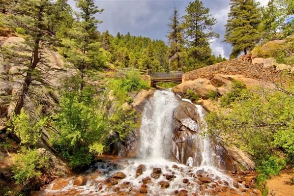
This is the only pick inside city limits. Helen Hunt Falls sits about 2.5 miles past the park entrance on North Cheyenne Cañon Road. It's a short, low-commitment outing with canyon color rather than a big aspen drive. If you've got a free morning and don't want to spend it in the car, start here.
- Drive: About 15–25 minutes from central Colorado Springs. Take North Cheyenne Cañon Road from the park entrance straight to the falls parking area.
- Color right now: Moderate, per Explore Fall's September 24 estimate.
- Timing: The canyon sits around 6,000–7,000 feet, lower than the other three picks. Color here usually runs a little behind the higher routes.
- Good to know: No buses, RVs, or oversized vehicles on the road. There's no cell service at the falls, and the park gates close nightly. Parking is limited, so earlier in the day gives you better odds.
- Check before you go: City of Colorado Springs — Helen Hunt Falls · City closures
2. Mueller State Park, Divide — the half-day pick
Mueller is the most dependable half-day outing on this list. It covers more than 5,100 acres of aspen, pine, and meadow with 50-plus miles of trail, real parking, and a visitor center. You can walk 20 minutes or hike all afternoon. That range is what makes it work for most groups.
- Drive: About 50–65 minutes. US 24 west to Divide, then CO 67 south to 21045 Highway 67 South. Check COtrip first — roadwork on US 24 and CO 67 can add time.
- Color right now: Moderate, per Explore Fall's September 24 estimate.
- Timing: The park is near 9,000 feet, so it tends to turn earlier than town. If you're planning for this week or next, go sooner rather than later.
- Fees and hours: Park open 5 a.m.–10 p.m.; visitor center 9 a.m.–4 p.m. Daily vehicle pass runs $10–$12 for Colorado plates and $15–$17 for out-of-state.
- Good to know: Dogs are allowed in campsites, picnic areas, and on paved roads, but not on trails. A Stage 1 fire ban was posted as of September 25 — campfires in designated rings only.
- Accessibility: The 0.5-mile Dragonfly Children's Nature Trail is wheelchair accessible. Most of the larger trail system is not.
- Check before you go: CPW — Mueller State Park · Trails and closures
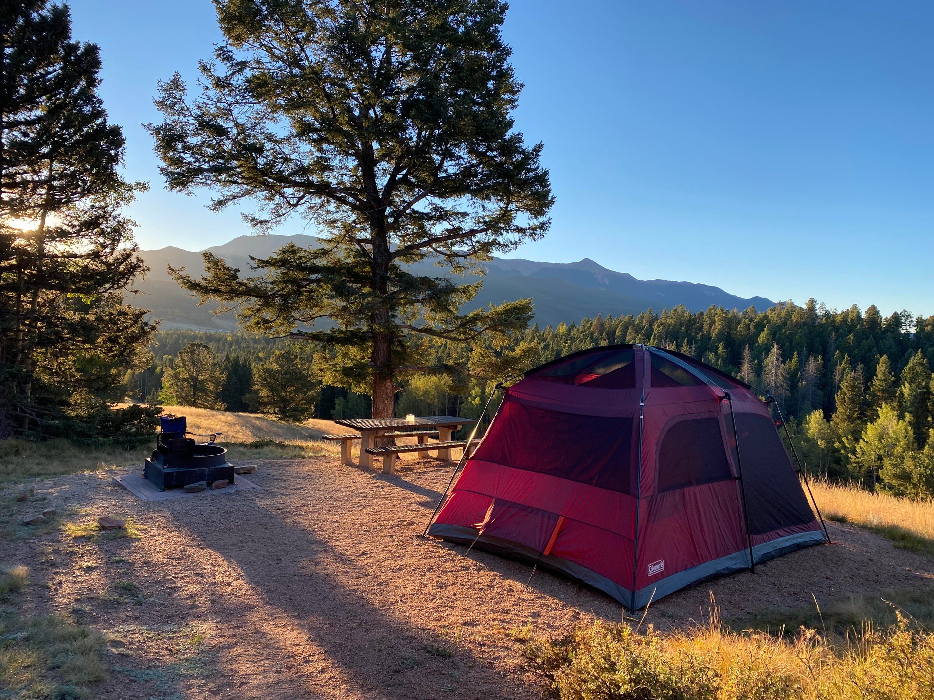
3. Florissant Fossil Beds National Monument — easy access, half day
Florissant isn't the biggest aspen show in the area. It earns a spot because it's easy: paved access, a real parking lot, an accessible visitor center, and a short accessible loop through a mixed forest and meadow valley. If you want fall color without rough roads or a long hike, this is the one.
- Drive: About 55–70 minutes. The entrance is on Teller County Road 1, two miles south of the US 24 intersection in Florissant.
- Color right now: High, per Explore Fall's September 24 estimate — the strongest reading of the four.
- Timing: The valley sits around 8,400–8,800 feet, so color here is running ahead of town. This is the one to prioritize if you're going in the next week.
- Fees and hours: $10 per adult (16+), cashless only. Through May 31, the visitor center is open Wednesday–Sunday, 9 a.m.–4:30 p.m. Restrooms and basic info stay open Monday and Tuesday.
- Parking: 99 spaces at the visitor center, including 9 oversized.
- Accessibility: The visitor center and the roughly half-mile Ponderosa Loop are wheelchair accessible. The rest of the 14-mile trail system is not.
- Check before you go: NPS hours and parking · Accessibility · Fees
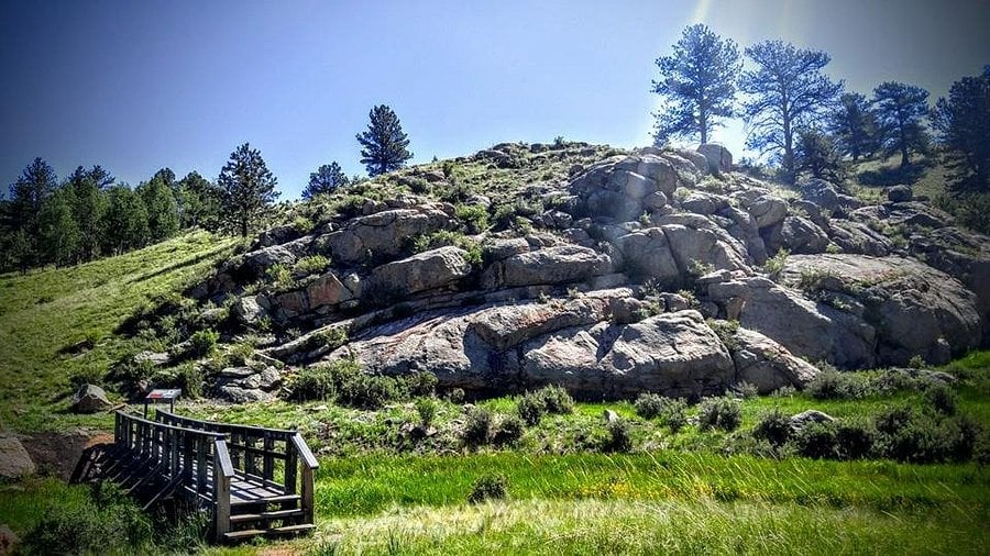
4. Cripple Creek and Victor via US 24 and CO 67 — the full-day drive
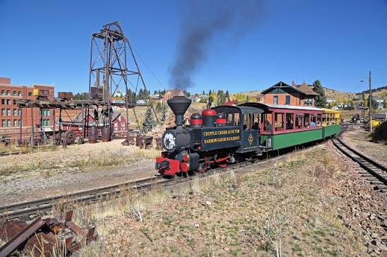
This is the day-trip version. Colorado Tourism lists the Divide–CO 67–Cripple Creek–Victor area as one of South Central Colorado's fall drives. Take the paved route up US 24 and CO 67, build in stops, and make a day of it. Victor is another 15–20 minutes past Cripple Creek.
- Drive: About 60–75 minutes to Cripple Creek. US 24 west to Divide, then CO 67 south. With stops and slower mountain miles, plan on a full day.
- Color right now: No current estimate for this route. Check the Explore Fall map the morning you go.
- Timing: Cripple Creek sits near 9,500 feet, so it can turn earlier than Colorado Springs. That's elevation, not a forecast.
- Roads: CO 67 through Woodland Park has had construction this year, with possible one-lane alternating traffic and delays. Check COtrip before you leave.
- About Gold Camp Road: You'll see it recommended as part of this loop. Parts are unpaved and conditions change, so it isn't right for every vehicle. Only take it if you've confirmed it's open that day.
- Check before you go: COtrip · CDOT CO 67 project · Colorado Tourism fall drives
Routes I left off, and why
- Pikes Peak Highway. It's a great road, but it's a paid, 19-mile, weather-dependent drive where conditions change fast. If you go, use the official operating line and entry rules the day of.
- Gold Camp Road on its own. Worth it when it's open and in good shape. Not a reliable default without a same-day check.
- Woodland Park. It's the gateway, not the destination. You'll pass through it on the way to Mueller and Cripple Creek.
- Rampart Range Road. The Forest Service describes it as rough, rutted washboard with a 20 mph limit. Fine for some rigs, a poor fit for most fall drives.
Before you leave
- Refresh the Explore Fall map. It's an estimate, not a field report.
- Check COtrip for construction, closures, and road cameras.
- Check NWS Pueblo for weather and alerts. Mountain weather turns fast in late September.
- Open the official park or agency page linked above. If it shows a closure, pick a different outing.
- Park in designated lots and pullouts only. Don't stop in travel lanes or on narrow shoulders for photos.
A good fall outing isn't about hitting a promised peak. It's about picking the route that fits your time, your vehicle, and what the roads look like that morning.
Frequently asked questions
When do the leaves change near Colorado Springs?
Higher spots like Mueller State Park, Florissant, and Cripple Creek usually turn first, typically late September into early October. Lower areas like North Cheyenne Cañon tend to follow. Exact timing shifts every year with weather, so check a daily-updated map like Explore Fall rather than relying on a fixed date.
What's the closest place to see fall colors in Colorado Springs?
North Cheyenne Cañon Park and Helen Hunt Falls. It's inside city limits, about 15–25 minutes from central Colorado Springs, and the falls sit roughly 2.5 miles past the park entrance. Parking is limited and there's no cell service at the falls, so go early.
Are there wheelchair-accessible fall-color trails near Colorado Springs?
Yes. Florissant Fossil Beds has an accessible visitor center and the roughly half-mile Ponderosa Loop. Mueller State Park has the 0.5-mile Dragonfly Children's Nature Trail. The larger trail systems at both parks are not accessible, so plan around those specific loops.
Do I need a pass for Mueller State Park or Florissant Fossil Beds?
Yes, both charge entry. Mueller's daily vehicle pass is $10–$12 for Colorado plates and $15–$17 for out-of-state vehicles. Florissant charges $10 per adult 16 and older, and it's cashless. Confirm current fees on the CPW and NPS pages before you go.
Is Gold Camp Road a good fall drive?
It can be, but it's not a default. Parts of it are unpaved and conditions and closures change. For a dependable drive to Cripple Creek and Victor, use paved US 24 and CO 67, and only add Gold Camp after confirming it's open that day.
Thinking about a move in the Pikes Peak region?
Connect with The Ridgeline Group for local real estate guidance. If you have questions, reach out.
Sources
- Explore Fall interactive foliage map, estimates displayed September 24, 2026: explorefall.com
- City of Colorado Springs, Helen Hunt Falls access and hours: coloradosprings.gov
- Colorado Parks and Wildlife, Mueller State Park, checked September 25, 2026: park page · trails
- National Park Service, Florissant Fossil Beds: hours · accessibility · fees
- Colorado Tourism, fall drives: colorado.com
- U.S. Forest Service, Rampart Reservoir: fs.usda.gov
- CDOT: COtrip · CO 67 Woodland Park project